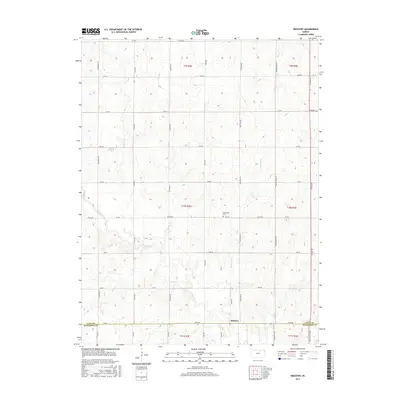
2015 Map of Industry
USGS Topo · Published 2015About this map
Industry sits at the southern edge of this Kansas landscape, straddling the border where the Clay Co Dickinson Co line meets. This region is defined by a dense network of sectional roads and the winding paths of several waterways, most notably Chapman Cr and McMurray Cr. These creeks carve through the township lines of t10s r2e and t10s r3e, shaping the agricultural layout of the area. For those researching local history, the Athelstane Cem provides a specific point of interest in the central portion of the map. The landscape is a textbook example of the Public Land Survey System, with roads like Kiowa Rd and Meadowlark Rd following the grid-like precision of the Kansas prairie.
Find a feature on this map
40 named features on this map. Tap any name to fly to it.
Don’t see what you’re looking for? This feature index may not catch every label — zoom into the map to look around manually.
Map Details
Editions of this 2015 Industry Map
This is the sole edition of this map. No revisions or reprints were ever made.
Other maps of this area
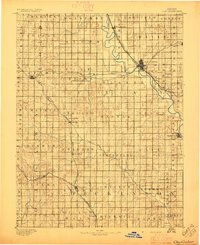
1891 · Clay Center
USGS Topo · 1:125,000

1955 · Manhattan
USGS Topo · 1:250,000
1956 · Manhattan
USGS Topo · 1:250,000
1957 · Manhattan
USGS Topo · 1:250,000
1963 · Upland
USGS Topo · 1:24,000
1964 · Industry
USGS Topo · 1:24,000
1964 · Buckeye
USGS Topo · 1:24,000
1964 · Clay Center SW
USGS Topo · 1:24,000
1964 · Clay Center SE
USGS Topo · 1:24,000
1964 · Wakefield
USGS Topo · 1:24,000