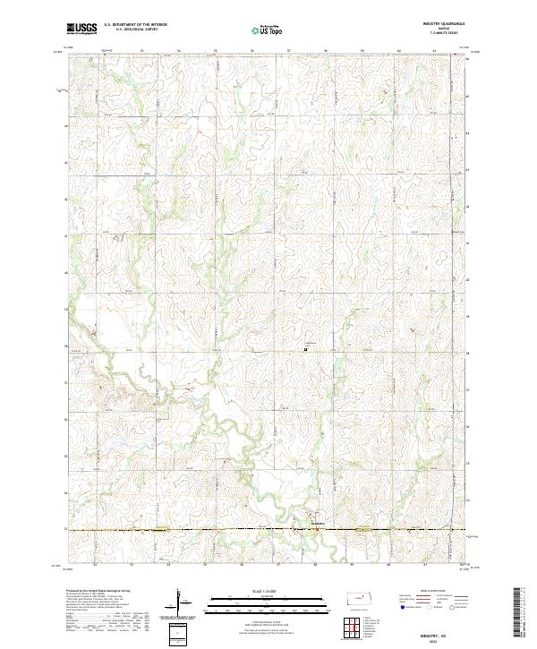
2022 Map of Industry
USGS Topo · Published 2022About this map
Industry sits as the central point of interest on the border of Clay and Dickinson Counties in this rural Kansas landscape. The settlement is positioned along the east-west corridor of 3700 Ave, where the local road network shifts between the gridded agricultural sections of the Plains. Waterways like Chapman Cr and McMurray Cr wind through the township, carving subtle topographic changes into the prairie. This survey provides a precise view of the region's historical infrastructure, including the placement of the Mizpah Cem and Athelstane Cem, which serve as vital markers for local genealogists and family historians. The map documents the enduring rural organization of North Central Kansas, where named roads such as Navajo Rd and Hackberry Rd define the boundaries of family farmsteads and the watershed of Otter Cr.
Find a feature on this map
41 named features on this map. Tap any name to fly to it.
Don’t see what you’re looking for? This feature index may not catch every label — zoom into the map to look around manually.
Map Details
Editions of this 2022 Industry Map
This is the sole edition of this map. No revisions or reprints were ever made.
Other maps of this area

1891 · Clay Center
USGS Topo · 1:125,000

1955 · Manhattan
USGS Topo · 1:250,000

1956 · Manhattan
USGS Topo · 1:250,000

1957 · Manhattan
USGS Topo · 1:250,000
1963 · Upland
USGS Topo · 1:24,000
1964 · Industry
USGS Topo · 1:24,000
1964 · Buckeye
USGS Topo · 1:24,000

1964 · Clay Center SW
USGS Topo · 1:24,000
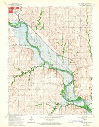
1964 · Clay Center SE
USGS Topo · 1:24,000
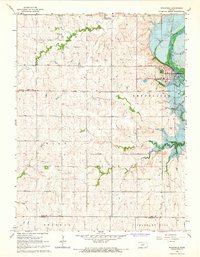
1964 · Wakefield
USGS Topo · 1:24,000