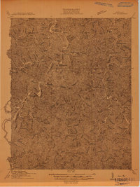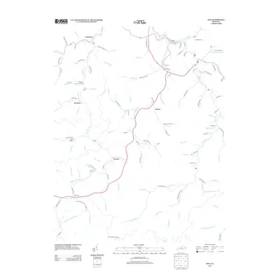
1916 Map of Inez
USGS Topo · Published 1916About this map
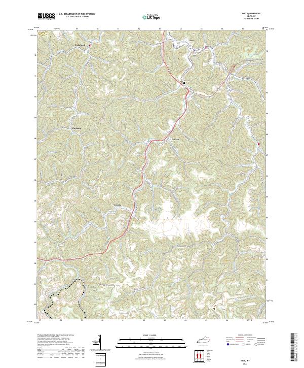
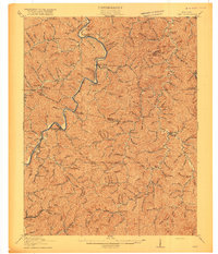
Inez (Eden) serves as a primary focal point in this eastern Kentucky landscape, situated near the winding waters of Rockcastle Creek. The 1914 survey documents a deeply dissected terrain defined by the Levisa Fork of the Big Sandy River, where river-bottom settlements like Richardson and Whitehouse are connected by a rail corridor. The map reveals an intricate network of rural infrastructure, where nearly every hollow and creek branch is anchored by a numbered schoolhouse, such as School No 11 or School No 9, reflecting a highly localized mountain society. Genealogists can identify significant historic post offices and small communities, including Graves Shoals (Patrick P.O.) and Chestnut (Henrietta P.O.), alongside landmarks like Wells Chapel. The intricate branching of Meathouse Creek and Wolf Creek illustrates how the physical geography dictated the pattern of early 20th-century development and transport in this region.
Find a feature on this map
102 named features on this map. Tap any name to fly to it.
Don’t see what you’re looking for? This feature index may not catch every label — zoom into the map to look around manually.
Map Details
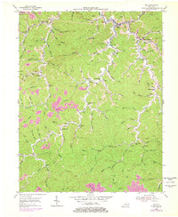
Editions of this 1916 Inez Map
3 editions found

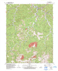
Historical Maps of Inez Through Time
9 maps found