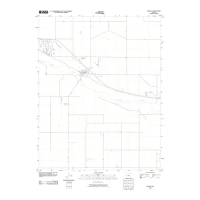
2009 Map of Ingalls
USGS Topo · Published 2009About this map
Ingalls sits along the northern bank of the Arkansas River in this western Kansas landscape. The town is defined by its grid of streets, including the prominent Soule Ave, which cuts through the heart of the settlement. To the northwest, the Ingalls-Logan Cemetery provides a focal point for genealogical research, marking the history of local families in Gray County. The surrounding terrain is organized by a systematic grid of section roads such as J Rd, K Rd, and Co Rd 14, reflecting the agricultural heritage of the high plains. The river itself follows a meandering path across the quadrangle, serving as the primary geographic feature that influenced the placement of the early railroad and highway routes that eventually shaped this community in the early twenty-first century.
Find a feature on this map
12 named features on this map. Tap any name to fly to it.
Don’t see what you’re looking for? This feature index may not catch every label — zoom into the map to look around manually.
Map Details
Editions of this 2009 Ingalls Map
This is the sole edition of this map. No revisions or reprints were ever made.
Other maps of this area

1892 · Dodge
USGS Topo · 1:125,000

1896 · Garden
USGS Topo · 1:125,000

1955 · Dodge City
USGS Topo · 1:250,000

1958 · Dodge City
USGS Topo · 1:250,000

1959 · Dodge City
USGS Topo · 1:250,000

1968 · Cimarron NW
USGS Topo · 1:24,000

1968 · Ingalls
USGS Topo · 1:24,000

1968 · Montezuma NW
USGS Topo · 1:24,000

1968 · Cimarron
USGS Topo · 1:24,000

1968 · Cimarron NE
USGS Topo · 1:24,000