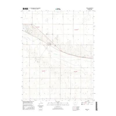
2016 Map of Ingalls
USGS Topo · Published 2016About this map
Arkansas River flows through this portion of Gray County, defining the local topography and agricultural patterns. The town of Ingalls is situated along the northern bank, where Soule Ave serves as a primary local thoroughfare. The surrounding landscape is organized by a rigorous section-line road grid, featuring numbered routes such as Co Rd 11 and lettered paths like L Rd. Genealogy researchers will find the Ingalls-Logan Cem located just north of the town center. The map illustrates the transition from the river valley into the high plains, where numerous depression features and intermittent wetlands dot the southern half of the quadrangle, particularly within t26s r29w and t26s r28w.
Find a feature on this map
24 named features on this map. Tap any name to fly to it.
Don’t see what you’re looking for? This feature index may not catch every label — zoom into the map to look around manually.
Map Details
Editions of this 2016 Ingalls Map
This is the sole edition of this map. No revisions or reprints were ever made.
Other maps of this area
1892 · Dodge
USGS Topo · 1:125,000
1896 · Garden
USGS Topo · 1:125,000
1955 · Dodge City
USGS Topo · 1:250,000
1958 · Dodge City
USGS Topo · 1:250,000
1959 · Dodge City
USGS Topo · 1:250,000
1968 · Cimarron NW
USGS Topo · 1:24,000
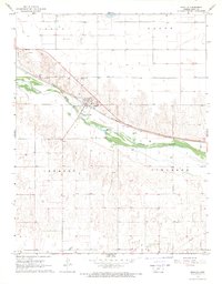
1968 · Ingalls
USGS Topo · 1:24,000
1968 · Montezuma NW
USGS Topo · 1:24,000
1968 · Cimarron
USGS Topo · 1:24,000
1968 · Cimarron NE
USGS Topo · 1:24,000