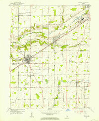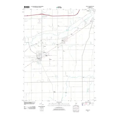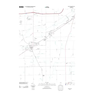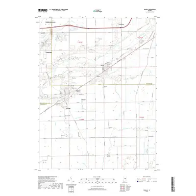
1962 Map of Ingalls
USGS Topo · Published 1963About this map
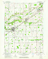
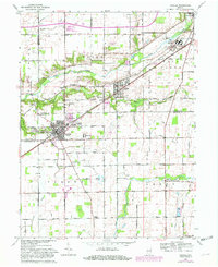
The corridor between Fortville and Pendleton is clearly defined by the heavy infrastructure of the New York Central railroad and a landscape transitioning from agriculture to residential pockets. This early 1960s revision captures the area at a peak of institutional and local development, dominated in the northeast by the extensive grounds of the State Reformatory near the Fall Creek valley. A dense network of family and community burial grounds, such as Gravel Lawn Cem and Crosley Cem, provides a detailed record of the region's long-standing rural settlement patterns.
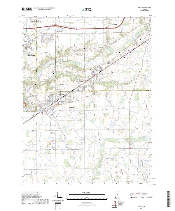
Find a feature on this map
67 named features on this map. Tap any name to fly to it.
Don’t see what you’re looking for? This feature index may not catch every label — zoom into the map to look around manually.
Map Details
Editions of this 1962 Ingalls Map
Historical Maps of Fishers Through Time
7 maps found