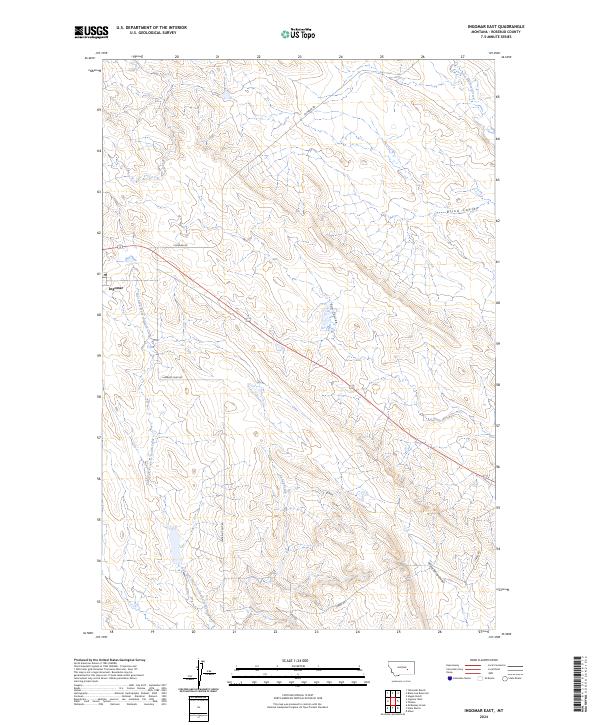
2024 Map of Ingomar East
USGS Topo · Published 2024About this map
Ingomar serves as the primary settlement anchor in this high-plains landscape of Rosebud County. The terrain is defined by a dense network of coulees and seasonal drainages, most notably the wide corridor of East Fork Froze to Death Creek which runs southward through the western half of the sheet. Further east, the land is carved by Blind Coulee, Sun Coulee, and Geyser Spring Coulee, illustrating the intricate erosion patterns of the northern Great Plains.
Find a feature on this map
14 named features on this map. Tap any name to fly to it.
Don’t see what you’re looking for? This feature index may not catch every label — zoom into the map to look around manually.
Map Details
Editions of this 2024 Ingomar East Map
This is the sole edition of this map. No revisions or reprints were ever made.
Other maps of this area

1954 · Forsyth
USGS Topo · 1:250,000

1957 · Forsyth
USGS Topo · 1:250,000

1958 · Forsyth
USGS Topo · 1:250,000

1960 · Steie Ranch
USGS Topo · 1:24,000

1960 · Hagen Ranch
USGS Topo · 1:24,000

1960 · Ahles
USGS Topo · 1:24,000

1960 · Yablonski Ranch
USGS Topo · 1:24,000

1960 · Thebes
USGS Topo · 1:24,000

1960 · Ingomar West
USGS Topo · 1:24,000

1960 · Ingomar East
USGS Topo · 1:24,000