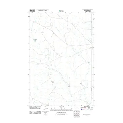
2011 Map of Ingomar West
USGS Topo · Published 2011About this map
Middle Fork Froze to Death Creek and its neighboring branches dominate this high-plains landscape in Rosebud County, where the sprawling drainage network of the Froze to Death system carves through the terrain. The small settlement of Galbraith and the Ingomar Post Office serve as the primary human touchpoints in an area otherwise defined by livestock-driven land management. Numerous water control structures, including the Big Timber Number 24 Dam and Quell Number 1 Dam, illustrate the necessity of water storage for ranching operations in this arid region. The infrastructure is sparse, characterized by foundational roads such as Ingomar Rd and Cameron Rd that link isolated homesteads and ranching hubs to the wider county. This survey provides a clear look at the hydraulic engineering and rural routes essential to modern Montana ranching life.
Find a feature on this map
16 named features on this map. Tap any name to fly to it.
Don’t see what you’re looking for? This feature index may not catch every label — zoom into the map to look around manually.
Map Details
Editions of this 2011 Ingomar West Map
This is the sole edition of this map. No revisions or reprints were ever made.
Other maps of this area

1954 · Forsyth
USGS Topo · 1:250,000

1957 · Forsyth
USGS Topo · 1:250,000

1958 · Forsyth
USGS Topo · 1:250,000
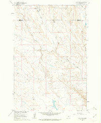
1960 · Steie Ranch
USGS Topo · 1:24,000
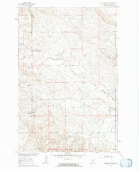
1960 · Yablonski Ranch
USGS Topo · 1:24,000
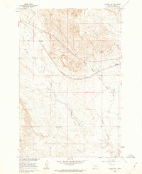
1960 · Ingomar West
USGS Topo · 1:24,000
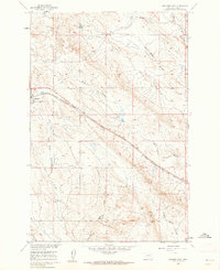
1960 · Ingomar East
USGS Topo · 1:24,000
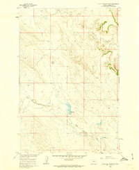
1960 · Black Sea Reservoir
USGS Topo · 1:24,000
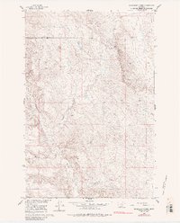
1960 · Mc Konkey Creek
USGS Topo · 1:24,000
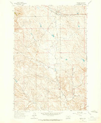
1962 · Sumatra
USGS Topo · 1:24,000