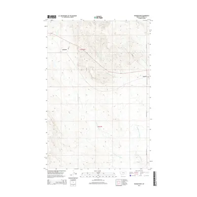
2014 Map of Ingomar West
USGS Topo · Published 2014About this map
Ingomar and the small settlement of Galbraith anchor this landscape in Rosebud County, where the high plains are carved by an intricate network of drainages. The area is defined by the evocative names of its waterways, most notably the Middle Fork Froze to Death Cr and its eastern and western branches, which snake across the terrain toward the south. This 2014 survey reveals a ranching economy still etched into the land through family-named sites such as Hecker Ranch, Yablonski Ranch, and Stele Ranch. Modern infrastructure like Us-12 and Ingomar Rd N provides the primary transit corridors through these wide-open townships. Geographic features like Ruskosky Ridge and the Black Sea Reservoir offer specific points of interest for those studying the local topography and water management in this part of Montana.
Find a feature on this map
22 named features on this map. Tap any name to fly to it.
Don’t see what you’re looking for? This feature index may not catch every label — zoom into the map to look around manually.
Map Details
Editions of this 2014 Ingomar West Map
This is the sole edition of this map. No revisions or reprints were ever made.
Other maps of this area

1954 · Forsyth
USGS Topo · 1:250,000

1957 · Forsyth
USGS Topo · 1:250,000

1958 · Forsyth
USGS Topo · 1:250,000
1960 · Steie Ranch
USGS Topo · 1:24,000
1960 · Yablonski Ranch
USGS Topo · 1:24,000
1960 · Ingomar West
USGS Topo · 1:24,000
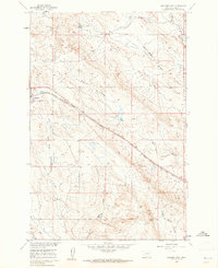
1960 · Ingomar East
USGS Topo · 1:24,000
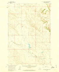
1960 · Black Sea Reservoir
USGS Topo · 1:24,000
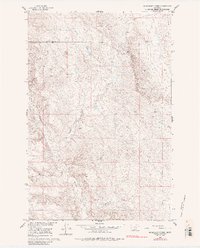
1960 · Mc Konkey Creek
USGS Topo · 1:24,000
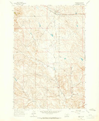
1962 · Sumatra
USGS Topo · 1:24,000