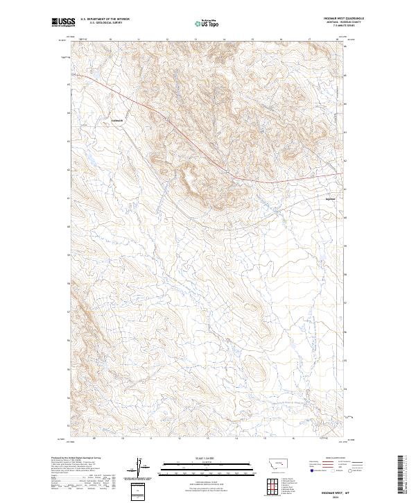
2024 Map of Ingomar West
USGS Topo · Published 2024About this map
Ingomar and Galbraith define the human footprint on this modern Rosebud County landscape, situated along a primary transportation corridor that cuts across the northern plains. The terrain is characterized by a complex drainage network, most notably the winding paths of the Middle Fork Froze to Death Creek and the West Fork Froze to Death Creek. These seasonal waterways, along with Willow Creek to the south, have carved deep coulees and ridges through the ranching country of eastern Montana.
Find a feature on this map
13 named features on this map. Tap any name to fly to it.
Don’t see what you’re looking for? This feature index may not catch every label — zoom into the map to look around manually.
Map Details
Editions of this 2024 Ingomar West Map
This is the sole edition of this map. No revisions or reprints were ever made.
Other maps of this area

1954 · Forsyth
USGS Topo · 1:250,000

1957 · Forsyth
USGS Topo · 1:250,000

1958 · Forsyth
USGS Topo · 1:250,000

1960 · Steie Ranch
USGS Topo · 1:24,000

1960 · Yablonski Ranch
USGS Topo · 1:24,000

1960 · Ingomar West
USGS Topo · 1:24,000

1960 · Ingomar East
USGS Topo · 1:24,000

1960 · Black Sea Reservoir
USGS Topo · 1:24,000

1960 · Mc Konkey Creek
USGS Topo · 1:24,000

1962 · Sumatra
USGS Topo · 1:24,000