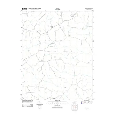
2011 Map of Ingram
USGS Topo · Published 2011About this map
Birch Creek and Germy Creek define the drainage of this Virginia landscape, where small crossroads communities like Birch, Ingram, and Laurel Grove sit among a network of secondary roads. The terrain is marked by distinct features such as Red Oak Hollow and Birchland Park, while the local history is anchored by the Ingram Cemetery and Arbor Cemetery. In the southern portion of the map, the settlement of Sutherlin sits near the confluence of Double Creek and Barker Creek. A complex web of rural routes, including Mt Zion Church Rd and Kerns Mill Rd, suggests a landscape shaped by long-standing agricultural and social hubs. Small water management features like Rol Dam and Watson Dam appear alongside various branches, showing the persistent relationship between the local topography and the residents who navigated these hills in the early twenty-first century.
Find a feature on this map
43 named features on this map. Tap any name to fly to it.
Don’t see what you’re looking for? This feature index may not catch every label — zoom into the map to look around manually.
Map Details
Editions of this 2011 Ingram Map
This is the sole edition of this map. No revisions or reprints were ever made.
Other maps of this area

1921 · Chatham
USGS Topo · 1:48,000

1923 · Danville
USGS Topo · 1:48,000

1923 · Chatham
USGS Topo · 1:62,500

1925 · Danville
USGS Topo · 1:62,500

1952 · Milton
USGS Topo · 1:62,500

1953 · Greensboro
USGS Topo · 1:250,000

1954 · Greensboro
USGS Topo · 1:250,000

1954 · Riceville
USGS Topo · 1:62,500

1956 · Milton
USGS Topo · 1:62,500

1962 · Greensboro
USGS Topo · 1:250,000