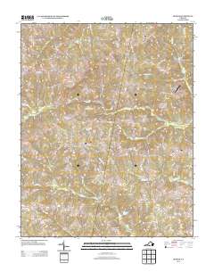
2013 Map of Ingram
USGS Topo · Published 2013About this map
Ingram and the surrounding rural landscape of Halifax County are defined by an intricate network of small streams and winding country roads. The terrain is drained by several branches, including Birch Cr and Big Toby Cr, which converge as they flow toward the Dan River basin. Small rural settlements like Birch, Brooklyn, and Laurel Grove are connected by historical thoroughfares such as Laurel Grove Rd and Brooklyn Rd, reflecting a traditional Virginian land-use pattern where homes and farms followed the ridges between the numerous creek beds. A notable modern landmark is Potts Landing Airport, situated near the eastern edge of the quadrangle. The presence of features like Watson Pond and named hollows such as Red Oak Hollow indicates a landscape shaped by both natural drainage and local agricultural history, offering a detailed look at the geography of south-central Virginia in the early 21st century.
Find a feature on this map
66 named features on this map. Tap any name to fly to it.
Don’t see what you’re looking for? This feature index may not catch every label — zoom into the map to look around manually.
Map Details
Editions of this 2013 Ingram Map
This is the sole edition of this map. No revisions or reprints were ever made.
Other maps of this area

1921 · Chatham
USGS Topo · 1:48,000

1923 · Danville
USGS Topo · 1:48,000

1923 · Chatham
USGS Topo · 1:62,500

1925 · Danville
USGS Topo · 1:62,500

1952 · Milton
USGS Topo · 1:62,500

1953 · Greensboro
USGS Topo · 1:250,000

1954 · Greensboro
USGS Topo · 1:250,000

1954 · Riceville
USGS Topo · 1:62,500

1956 · Milton
USGS Topo · 1:62,500

1962 · Greensboro
USGS Topo · 1:250,000