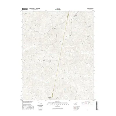
2016 Map of Ingram
USGS Topo · Published 2016About this map
Birch Cr and its many tributaries, including Tanyard Br and Germy Cr, define the drainage of this rural landscape on the border of Pittsylvania and Halifax counties. In the north, the community of Ingram sits near the Ingram Cem, while the terrain drops toward Red Oak Hollow. Further south, the map reveals a network of country roads connecting Laurel Grove and Brooklyn, where local family history is anchored by sites like the William H Shelton Graveyard. The settlement pattern follows the high ground between creek branches, with Sutherlin marking the southern extent of the survey. The presence of Potts Landing along Carlton Cr suggests the enduring importance of local water access points in this agricultural region during the mid-2010s.
Find a feature on this map
67 named features on this map. Tap any name to fly to it.
Don’t see what you’re looking for? This feature index may not catch every label — zoom into the map to look around manually.
Map Details
Editions of this 2016 Ingram Map
This is the sole edition of this map. No revisions or reprints were ever made.
Other maps of this area

1921 · Chatham
USGS Topo · 1:48,000

1923 · Danville
USGS Topo · 1:48,000

1923 · Chatham
USGS Topo · 1:62,500

1925 · Danville
USGS Topo · 1:62,500

1952 · Milton
USGS Topo · 1:62,500

1953 · Greensboro
USGS Topo · 1:250,000

1954 · Greensboro
USGS Topo · 1:250,000

1954 · Riceville
USGS Topo · 1:62,500

1956 · Milton
USGS Topo · 1:62,500

1962 · Greensboro
USGS Topo · 1:250,000