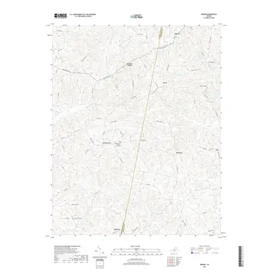
2019 Map of Ingram
USGS Topo · Published 2019About this map
Pittsylvania and Halifax counties meet along a boundary line that bisects this rural Virginia landscape, where small communities like Ingram and Laurel Grove anchor a network of country roads. The terrain is defined by the winding course of Birch Creek and its many tributaries, including Tanyard Branch and Germy Creek. These waterways once dictated the placement of early settlements and crossings, such as Potts Landing.
Find a feature on this map
72 named features on this map. Tap any name to fly to it.
Don’t see what you’re looking for? This feature index may not catch every label — zoom into the map to look around manually.
Map Details
Editions of this 2019 Ingram Map
This is the sole edition of this map. No revisions or reprints were ever made.
Other maps of this area

1921 · Chatham
USGS Topo · 1:48,000

1923 · Danville
USGS Topo · 1:48,000

1923 · Chatham
USGS Topo · 1:62,500

1925 · Danville
USGS Topo · 1:62,500

1952 · Milton
USGS Topo · 1:62,500

1953 · Greensboro
USGS Topo · 1:250,000

1954 · Greensboro
USGS Topo · 1:250,000

1954 · Riceville
USGS Topo · 1:62,500

1956 · Milton
USGS Topo · 1:62,500

1962 · Greensboro
USGS Topo · 1:250,000