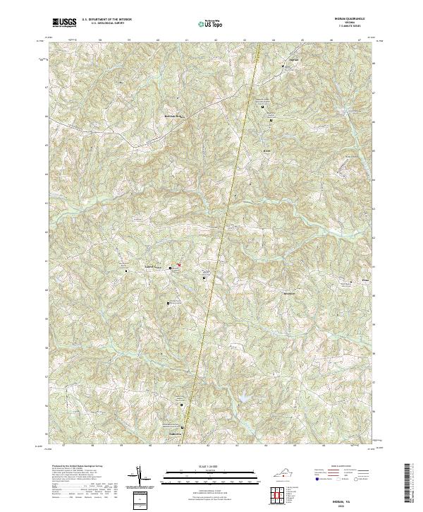
2022 Map of Ingram
USGS Topo · Published 2022About this map
Red Oak Hollow and the rolling drainage basins of Birch Cr and Big Toby Cr characterize this rural landscape along the boundary of Pittsylvania and Halifax Counties. The settlement pattern is defined by historic crossroads communities and family landholdings, visible in the high density of small burial sites such as the Chaney Family Burial Grounds and the William H Shelton Graveyard. These small, localized cemeteries reflect the area's deep-rooted agricultural genealogy.
Find a feature on this map
74 named features on this map. Tap any name to fly to it.
Don’t see what you’re looking for? This feature index may not catch every label — zoom into the map to look around manually.
Map Details
Editions of this 2022 Ingram Map
This is the sole edition of this map. No revisions or reprints were ever made.
Other maps of this area

1921 · Chatham
USGS Topo · 1:48,000

1923 · Danville
USGS Topo · 1:48,000

1923 · Chatham
USGS Topo · 1:62,500

1925 · Danville
USGS Topo · 1:62,500

1952 · Milton
USGS Topo · 1:62,500

1953 · Greensboro
USGS Topo · 1:250,000

1954 · Greensboro
USGS Topo · 1:250,000

1954 · Riceville
USGS Topo · 1:62,500

1956 · Milton
USGS Topo · 1:62,500

1962 · Greensboro
USGS Topo · 1:250,000