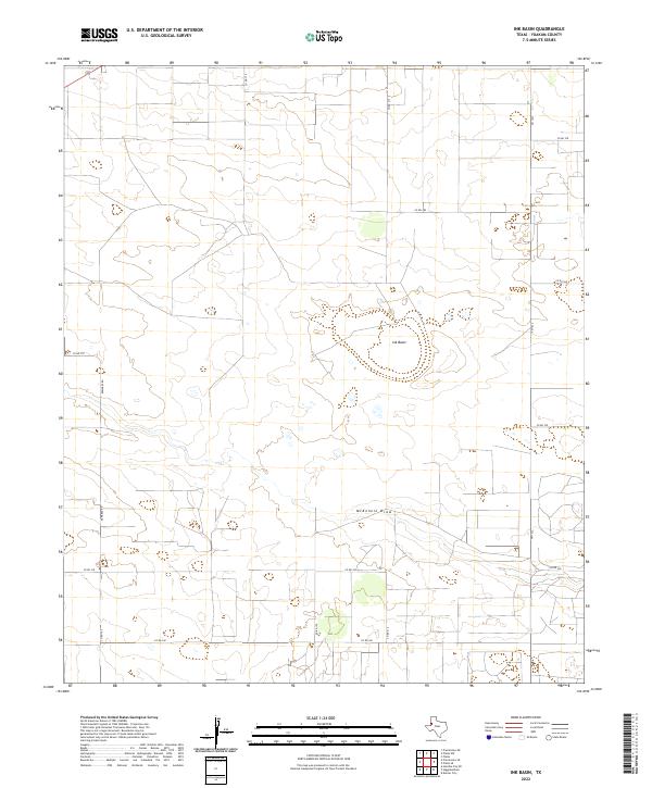
2022 Map of Ink Basin
USGS Topo · Published 2022About this map
Ink Basin anchors this high plains landscape in Yoakum County, where the topography is defined by subtle depressions and the ephemeral course of McKenzie Draw. The 2022 survey illustrates a modern rural grid system, punctuated by a network of county roads such as Co Rd 280 and Co Rd 340 that navigate the open terrain. This area of West Texas shows a sparse, specialized infrastructure typical of the Llano Estacado, where land use is reflected in long, straight transit corridors like FM 1622 and localized routes such as Edwards Rd. The map reveals how water drainage patterns and local transit routes interact in this semi-arid environment, providing a precise record of the contemporary rural footprint.
Find a feature on this map
16 named features on this map. Tap any name to fly to it.
Don’t see what you’re looking for? This feature index may not catch every label — zoom into the map to look around manually.
Map Details
Editions of this 2022 Ink Basin Map
This is the sole edition of this map. No revisions or reprints were ever made.
Other maps of this area

1954 · Hobbs
USGS Topo · 1:250,000

1954 · Brownfield
USGS Topo · 1:250,000

1958 · Brownfield
USGS Topo · 1:250,000

1958 · Hobbs
USGS Topo · 1:250,000

1962 · Brownfield
USGS Topo · 1:250,000

1969 · Humble City NE
USGS Topo · 1:24,000

1970 · Prairieview NE
USGS Topo · 1:24,000

1970 · Prairieview SE
USGS Topo · 1:24,000

1971 · Plains NW
USGS Topo · 1:24,000

1971 · Higginbotham
USGS Topo · 1:24,000