1971 Map of Plains NW
USGS Topo · Published 1973About this map
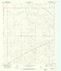
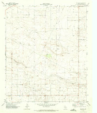
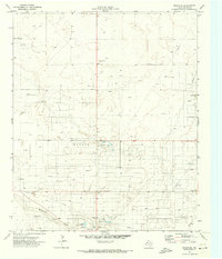
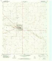
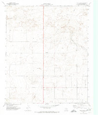
Brahaney Oil Field dominates the southern half of this Yoakum County landscape, reflecting the intensive energy production that defined the region during the early 1970s. The terrain is marked by a high density of Oil Wells, a network of secondary roads, and a prominent Pipeline cutting diagonally across the oil-rich plains. Cutting through the northern sector, the Sulphur Springs Draw provides a subtle natural drainage feature in an otherwise industrial topography. This survey by the Texas Water Development Board also documents historic transit routes like the Old Lovington Road, which serves as a primary east-west corridor. Numerous Gravel Pits and drill holes indicate the extraction-based economy that shaped local development and land use patterns at this time.
Find a feature on this map
8 named features on this map. Tap any name to fly to it.
Don’t see what you’re looking for? This feature index may not catch every label — zoom into the map to look around manually.
Map Details
Editions of this 1971 Plains NW Map
This is the sole edition of this map. No revisions or reprints were ever made.
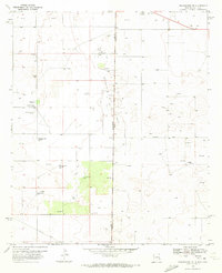
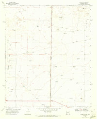
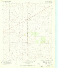
Other maps of this area

1954 · Brownfield
USGS Topo · 1:250,000

1958 · Brownfield
USGS Topo · 1:250,000

1962 · Brownfield
USGS Topo · 1:250,000
1970 · Prairieview NE
USGS Topo · 1:24,000
1970 · Bronco
USGS Topo · 1:24,000
1970 · Prairieview SE
USGS Topo · 1:24,000
1971 · Ink Basin
USGS Topo · 1:24,000
1971 · Plains SE
USGS Topo · 1:24,000
1971 · Plains
USGS Topo · 1:24,000
1971 · Two B Ranch
USGS Topo · 1:24,000