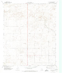
1971 Map of Two B Ranch
USGS Topo · Published 1973About this map
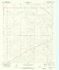
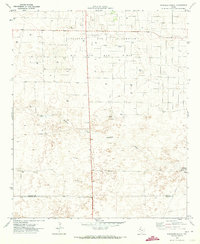
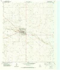
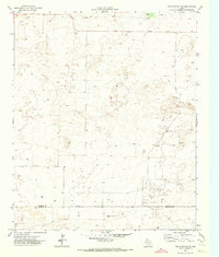
Two B Ranch anchors this portion of the Texas High Plains, situated within a landscape characterized by wind-swept depressions and intermittent drainage systems. The presence of Lost Draw crossing the eastern half of the sheet indicates the subtle topographic shifts of the Llano Estacado, where ancient watercourses have left shallow impressions across the terrain. This 1971 survey was conducted for the Texas Water Development Board and reveals an environment transitioning towards industrial utility, with several Pipeline routes and numerous Wells and Well sites scattered throughout the plains. A single Gravel Pit near the center of the quadrangle highlights the small-scale extraction of local materials during this era of rural development.
Find a feature on this map
6 named features on this map. Tap any name to fly to it.
Don’t see what you’re looking for? This feature index may not catch every label — zoom into the map to look around manually.
Map Details
Editions of this 1971 Two B Ranch Map
This is the sole edition of this map. No revisions or reprints were ever made.
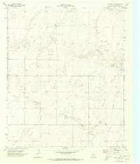
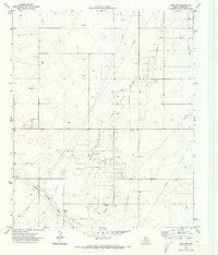
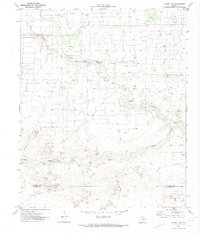
Other maps of this area

1954 · Brownfield
USGS Topo · 1:250,000

1958 · Brownfield
USGS Topo · 1:250,000

1962 · Brownfield
USGS Topo · 1:250,000
1970 · Plains 1 SW
USGS Topo · 1:24,000
1970 · Tokio NW
USGS Topo · 1:24,000
1970 · Plains 1 NW
USGS Topo · 1:24,000
1971 · Plains NW
USGS Topo · 1:24,000
1971 · Schooler Ranch
USGS Topo · 1:24,000
1971 · Plains
USGS Topo · 1:24,000
1971 · Two B Ranch NW
USGS Topo · 1:24,000