
1971 Map of Schooler Ranch
USGS Topo · Published 1973About this map
The Levelland and Slaughter Oil and Gas Field dominates the High Plains landscape of the Texas Panhandle in this early 1970s survey. This region of Cochran County is characterized by a high density of wells and drill holes, reflecting the intensive energy production of the era. The terrain is marked by the subtle drainage of the South Fork Sulphur Draw, which meanders eastward toward the Slaughter Pumping Sta.
Find a feature on this map
10 named features on this map. Tap any name to fly to it.
Don’t see what you’re looking for? This feature index may not catch every label — zoom into the map to look around manually.
Map Details
Editions of this 1971 Schooler Ranch Map
This is the sole edition of this map. No revisions or reprints were ever made.
Other maps of this area

1954 · Brownfield
USGS Topo · 1:250,000

1958 · Brownfield
USGS Topo · 1:250,000

1962 · Brownfield
USGS Topo · 1:250,000

1969 · Lehman
USGS Topo · 1:24,000

1970 · Plains 1 SW
USGS Topo · 1:24,000

1970 · Morton SW
USGS Topo · 1:24,000

1970 · Whiteface SW
USGS Topo · 1:24,000

1970 · Plains 1 NW
USGS Topo · 1:24,000
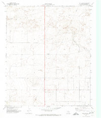
1971 · Two B Ranch
USGS Topo · 1:24,000
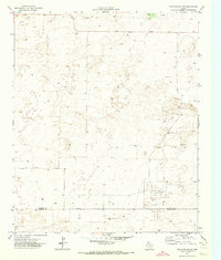
1971 · Two B Ranch NW
USGS Topo · 1:24,000