
1970 Map of Tokio NW
USGS Topo · Published 1973About this map
Prentice Oil and Gas Field dominates the landscape of this Yoakum County survey, where an extensive network of pipelines and wells reveals the intensive petroleum production of the early 1970s. The industrial development is superimposed over a naturally subtle terrain, most notably marked by the passage of Sulphur Springs Draw through the southwestern portion of the sheet. The mapping of multiple Gravel Pits alongside the petroleum infrastructure indicates a period of significant extraction and utility construction. This 1970 field check by the Texas Water Development Board and USGS captures the transition of the West Texas plains into a high-density energy corridor, preserving the exact layout of the lease roads and resource lines that defined the local economy during this era.
Find a feature on this map
3 named features on this map. Tap any name to fly to it.
Don’t see what you’re looking for? This feature index may not catch every label — zoom into the map to look around manually.
Map Details
Editions of this 1970 Tokio NW Map
This is the sole edition of this map. No revisions or reprints were ever made.
Other maps of this area

1954 · Brownfield
USGS Topo · 1:250,000

1958 · Brownfield
USGS Topo · 1:250,000

1962 · Brownfield
USGS Topo · 1:250,000

1969 · Plains 1 SE
USGS Topo · 1:24,000

1970 · Plains 1 SW
USGS Topo · 1:24,000

1970 · Tokio
USGS Topo · 1:24,000
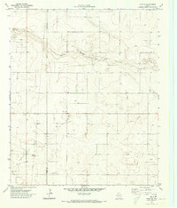
1970 · Tokio SE
USGS Topo · 1:24,000

1970 · Pleasant Hill
USGS Topo · 1:24,000
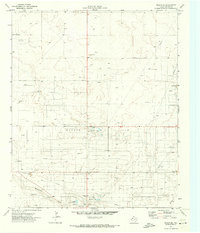
1971 · Plains SE
USGS Topo · 1:24,000
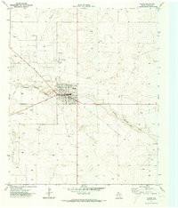
1971 · Plains
USGS Topo · 1:24,000