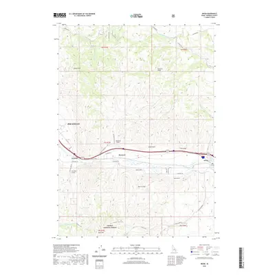
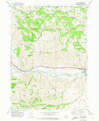
2020 Map of Inkom
USGS Topo · Published 2020About this map
The Portneuf River carves a critical corridor through the mountainous terrain of Bannock County, anchoring the settlements of Inkom and Blackrock. This landscape is defined by the sharp transition from the urban edge of Pocatello to the high elevations of the Pocatello Range and Caribou National Forest. Transportation routes such as N Old Hwy 91 and W Old Highway 91 follow the natural contours of the river valley, mirroring the historic paths used for regional commerce.
Find a feature on this map
48 named features on this map. Tap any name to fly to it.
Don’t see what you’re looking for? This feature index may not catch every label — zoom into the map to look around manually.
Map Details
Editions of this 2020 Inkom Map
This is the sole edition of this map. No revisions or reprints were ever made.
Other maps of this area

1937 · Pocatello
USGS Topo · 1:48,000

1944 · Pocatello
USGS Topo · 1:62,500

1954 · Pocatello
USGS Topo · 1:250,000

1958 · Pocatello
USGS Topo · 1:250,000

1968 · Clifton Creek
USGS Topo · 1:24,000
1968 · South Putnam Mtn
USGS Topo · 1:24,000
1968 · Bonneville Peak
USGS Topo · 1:24,000

1968 · Mc Cammon
USGS Topo · 1:24,000
1968 · Scout Mtn
USGS Topo · 1:24,000
1971 · Inkom
USGS Topo · 1:24,000