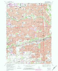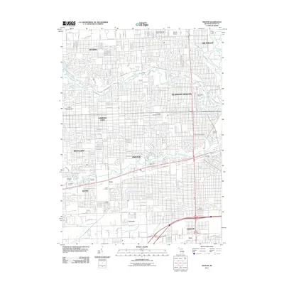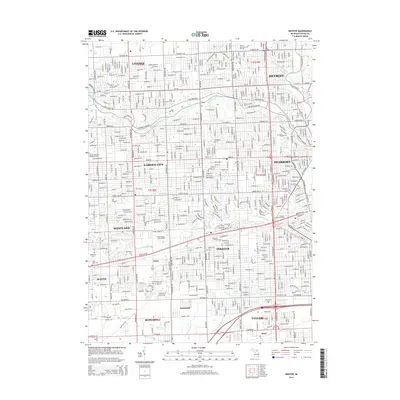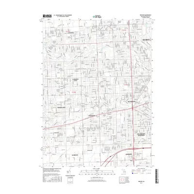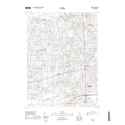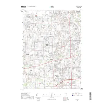
1996 Map of Inkster
USGS Topo · Published 2000About this map
Livonia, Garden City, and Dearborn Heights form a dense residential and commercial grid in this late-century snapshot of suburban Wayne County. The Middle Rouge River and Lower Rouge River cut through the landscape, buffered by greenbelts like Hines Parkway, which preserve the historic Nankin Mills site. The map documents an area defined by its mid-century expansion, evidenced by the high density of neighborhood schools such as Vogel Jr High Sch and Robichaud High Sch, alongside numerous parochial institutions like St Robert Bellarmine Sch and the St Bernard Seminary.
Find a feature on this map
163 named features on this map. Tap any name to fly to it.
Don’t see what you’re looking for? This feature index may not catch every label — zoom into the map to look around manually.
Map Details
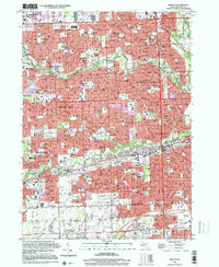
Editions of this 1996 Inkster Map
This is the sole edition of this map. No revisions or reprints were ever made.
Historical Maps of Detroit Through Time
10 maps found