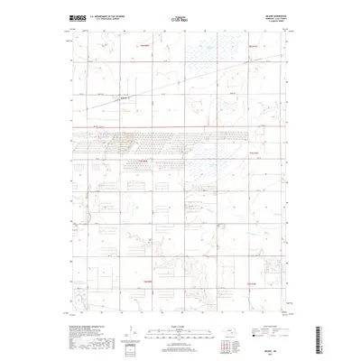
2017 Map of Inland
USGS Topo · Published 2017About this map
The small settlement of Inland serves as the focal point of this Clay County landscape, where the agricultural grid is deeply intertwined with the hydrologic patterns of the Nebraska plains. Large wetland areas, including Harvard Marsh in the north and McMurtrey Marsh near the center, break the regularity of the section lines and township boundaries. These marshes, alongside the drainages of School Cr and Little Sandy Cr, define the drainage basin of the region, influencing both the historical placement of roads and the local ecology.
Find a feature on this map
24 named features on this map. Tap any name to fly to it.
Don’t see what you’re looking for? This feature index may not catch every label — zoom into the map to look around manually.
Map Details
Editions of this 2017 Inland Map
This is the sole edition of this map. No revisions or reprints were ever made.
Other maps of this area

1898 · Superior
USGS Topo · 1:125,000

1898 · Grand Island
USGS Topo · 1:125,000

1955 · Grand Island
USGS Topo · 1:250,000

1957 · Grand Island
USGS Topo · 1:250,000

1958 · Grand Island
USGS Topo · 1:250,000

1969 · Hastings East
USGS Topo · 1:24,000

1969 · Fairfield NW
USGS Topo · 1:24,000
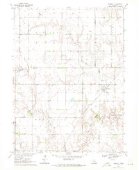
1969 · Trumbull
USGS Topo · 1:24,000
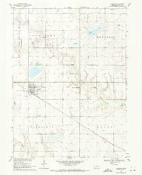
1969 · Fairfield
USGS Topo · 1:24,000
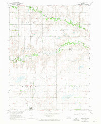
1969 · Harvard NE
USGS Topo · 1:24,000