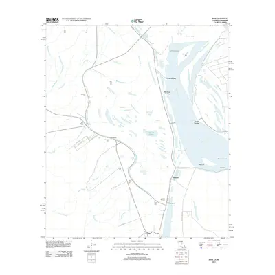
2012 Map of Innis
USGS Topo · Published 2012About this map
The Mississippi River shapes the geography of Pointe Coupee Parish on this 2012 survey, defining a landscape of active river engineering and historic riverfront settlements. Significant landmarks such as Torras Landing, Red River Landing, and Angola Landing highlight the importance of water-based transport and river crossings in this region. The map captures the complex hydrography of the floodplain, where Shreves Cutoff and Raccourci Cutoff indicate the river's dynamic history of changing course.
Find a feature on this map
51 named features on this map. Tap any name to fly to it.
Don’t see what you’re looking for? This feature index may not catch every label — zoom into the map to look around manually.
Map Details
Editions of this 2012 Innis Map
This is the sole edition of this map. No revisions or reprints were ever made.
Other maps of this area

1939 · Artonish
USGS Topo · 1:62,500

1941 · Voorhies
USGS Topo · 1:62,500

1941 · Batchelor
USGS Topo · 1:62,500

1953 · Natchez
USGS Topo · 1:250,000

1954 · Artonish
USGS Topo · 1:62,500

1954 · Baton Rouge
USGS Topo · 1:250,000

1955 · Artonish
USGS Topo · 1:62,500

1955 · Batchelor
USGS Topo · 1:62,500

1955 · Odenburg
USGS Topo · 1:62,500

1956 · Natchez
USGS Topo · 1:250,000