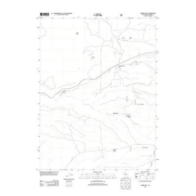
2012 Map of Inskip Hill
USGS Topo · Published 2012About this map
Paynes Creek serves as a central point in this Northern California landscape, where the road network transitions into the cattle ranching and homesteading country of Tehama County. The map documents several established ranching properties and family-named landmarks, such as Childs Ranch, Shults Ranch, and Wade Place, reflecting a long-standing pattern of rural land use. The presence of the Mount Lassen Trout Farm along Paynes Cr highlights a specialized local industry integrated into the canyon topography.
Find a feature on this map
28 named features on this map. Tap any name to fly to it.
Don’t see what you’re looking for? This feature index may not catch every label — zoom into the map to look around manually.
Map Details
Editions of this 2012 Inskip Hill Map
This is the sole edition of this map. No revisions or reprints were ever made.
Other maps of this area

1886 · Lassen Peak
USGS Topo · 1:250,000

1890 · Red Bluff
USGS Topo · 1:250,000

1892 · Lassen Peak
USGS Topo · 1:250,000

1894 · Lassen Peak
USGS Topo · 1:250,000

1894 · Red Bluff
USGS Topo · 1:250,000

1905 · Tehama
USGS Topo · 1:62,500

1935 · Paynes Creek
USGS Topo · 1:96,000

1941 · Mineral
USGS Topo · 1:125,000

1944 · Tuscan Buttes
USGS Topo · 1:62,500

1947 · Tuscan Buttes
USGS Topo · 1:62,500