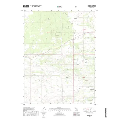
2018 Map of Inskip Hill
USGS Topo · Published 2018About this map
Paynes Creek and the surrounding volcanic landscape of eastern Tehama County are defined by a network of seasonal drainages and prominent rises. The terrain is anchored by the cinder cone of Inskip Hill and its neighbor Little Inskip Hill, while the southeastern corner of the quadrangle transitions into the protected timberlands of the Lassen National Forest. This 2018 survey illustrates a rural landscape where narrow winding routes like Moulton Loop and Plum Creek Road trace the natural contours of the ridges. Significant topographic features including Plum Creek Ridge and Hogback Ridge separate the various watersheds of Paynes Creek, Plum Creek, and Cameron Creek. The map documents small settlements and geographical points of interest such as Lane Valley and Durley Flat, providing a contemporary view of the region's ranching and forest-service infrastructure.
Find a feature on this map
32 named features on this map. Tap any name to fly to it.
Don’t see what you’re looking for? This feature index may not catch every label — zoom into the map to look around manually.
Map Details
Editions of this 2018 Inskip Hill Map
This is the sole edition of this map. No revisions or reprints were ever made.
Other maps of this area
1886 · Lassen Peak
USGS Topo · 1:250,000
1890 · Red Bluff
USGS Topo · 1:250,000
1892 · Lassen Peak
USGS Topo · 1:250,000
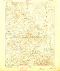
1894 · Lassen Peak
USGS Topo · 1:250,000
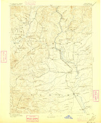
1894 · Red Bluff
USGS Topo · 1:250,000
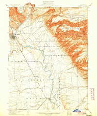
1905 · Tehama
USGS Topo · 1:62,500
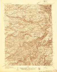
1935 · Paynes Creek
USGS Topo · 1:96,000
1941 · Mineral
USGS Topo · 1:125,000
1944 · Tuscan Buttes
USGS Topo · 1:62,500
1947 · Tuscan Buttes
USGS Topo · 1:62,500