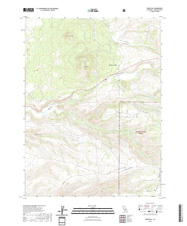
2022 Map of Inskip Hill
USGS Topo · Published 2022About this map
Paynes Creek and the surrounding volcanic uplands of Tehama County are defined by a complex drainage system flowing toward the Sacramento Valley. The landscape is dominated by the prominent cinder cones of Inskip Hill and Little Inskip Hill, which rise above a series of parallel ridges and deep gulches. To the east, the boundary of the Lassen National Forest encompasses the high ground of Plum Creek Ridge, where numerous tributaries like N Fork Plum Cr and Oat Cr originate.
Find a feature on this map
29 named features on this map. Tap any name to fly to it.
Don’t see what you’re looking for? This feature index may not catch every label — zoom into the map to look around manually.
Map Details
Editions of this 2022 Inskip Hill Map
This is the sole edition of this map. No revisions or reprints were ever made.
Other maps of this area

1886 · Lassen Peak
USGS Topo · 1:250,000

1890 · Red Bluff
USGS Topo · 1:250,000

1892 · Lassen Peak
USGS Topo · 1:250,000

1894 · Lassen Peak
USGS Topo · 1:250,000

1894 · Red Bluff
USGS Topo · 1:250,000

1905 · Tehama
USGS Topo · 1:62,500

1935 · Paynes Creek
USGS Topo · 1:96,000

1941 · Mineral
USGS Topo · 1:125,000

1944 · Tuscan Buttes
USGS Topo · 1:62,500

1947 · Tuscan Buttes
USGS Topo · 1:62,500