
1945 Map of Inspiration
USGS Topo · Published 1947About this map
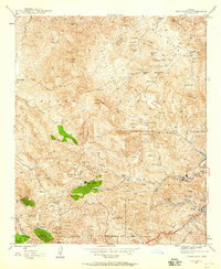
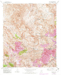
Industrial activity dominates this mid-1940s landscape, where the copper mining complex at Inspiration and the neighboring city of Miami are surrounded by an intricate network of shafts and tunnels. The Southern Pacific Railroad winds through the southern terrain, serving massive operations like the Castle Dome Mine and its associated Castle Dome Concentrator. Farther south, the Carlota Mine and Hamilton Shaft sit near the rugged course of Pinto Creek, highlighting the density of mineral extraction in this era. Beyond the industrial sites, the land transitions into the Tonto National Forest, where features like Indian Ruins near Rip Spring and high points like Sleeping Beauty and Barnes Peak overlook the canyons. This map captures a pivotal moment when the copper economy shaped every gulch and ridge, from the Inspiration Main Shafts to the Leaching Plant and the numerous tailings ponds that mark the local drainage.
Find a feature on this map
104 named features on this map. Tap any name to fly to it.
Don’t see what you’re looking for? This feature index may not catch every label — zoom into the map to look around manually.
Map Details
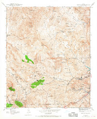
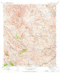
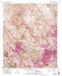
Editions of this 1945 Inspiration Map
6 editions found
Other maps of this area

1900 · Florence
USGS Topo · 1:125,000

1901 · Globe
USGS Topo · 1:62,500

1902 · Globe
USGS Topo · 1:62,500

1902 · Florence
USGS Topo · 1:125,000

1907 · Roosevelt
USGS Topo · 1:125,000

1909 · Four Peaks
USGS Topo · 1:125,000

1912 · Roosevelt
USGS Topo · 1:125,000

1922 · Chrysotile
USGS Topo · 1:125,000

1945 · Globe
USGS Topo · 1:24,000

1947 · Inspiration
USGS Topo · 1:24,000