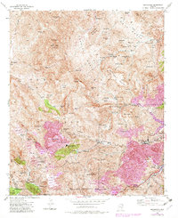
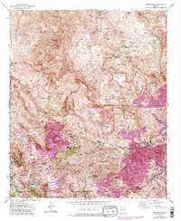
1945 Map of Inspiration
USGS Topo · Published 1982About this map
The copper-rich landscape of Gila County is defined by extensive industrial activity within the Tonto National Forest. Centered on the sprawling Castle Dome Mine and its Castle Dome Concentrator, the map reveals a complex system of extraction including the Silver Belt Shaft, Hamilton Shaft, and Pinto Shaft. The sheer scale of operations is evident in the presence of a large Tailings Pond and Cottonwood Tailings Pond, along with a massive Leaching Plant near Inspiration. These mining features, alongside the town of Miami, illustrate the peak of mid-century industrial development in the region.
Find a feature on this map
72 named features on this map. Tap any name to fly to it.
Don’t see what you’re looking for? This feature index may not catch every label — zoom into the map to look around manually.
Map Details
Editions of this 1945 Inspiration Map
6 editions found
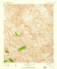
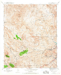
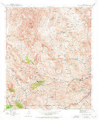
Other maps of this area

1900 · Florence
USGS Topo · 1:125,000

1901 · Globe
USGS Topo · 1:62,500

1902 · Globe
USGS Topo · 1:62,500

1902 · Florence
USGS Topo · 1:125,000

1907 · Roosevelt
USGS Topo · 1:125,000

1909 · Four Peaks
USGS Topo · 1:125,000

1912 · Roosevelt
USGS Topo · 1:125,000

1922 · Chrysotile
USGS Topo · 1:125,000

1945 · Globe
USGS Topo · 1:24,000

1945 · Inspiration
USGS Topo · 1:24,000