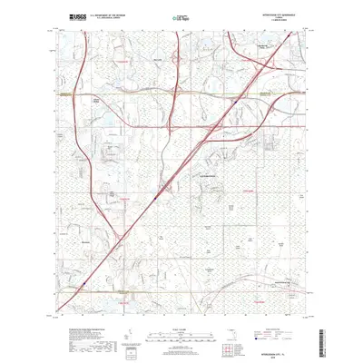
2018 Map of Intercession City
USGS Topo · Published 2018About this map
Celebration and the surrounding tourism-driven corridors of central Florida are captured here in a moment of dense suburban and commercial expansion. This 2018 survey documents a landscape of planned communities and interstate intersections where the Osceola Pkwy meets major transit arteries near Bay Lake. The map reveals the intricate network of residential streets in Reunion and the retail developments of Citrus Ridge, contrasting with the persistent wetlands of the Reedy Creek Swamp and Davenport Creek Swamp. To the south, Intercession City marks a distinct pocket of development. The area's topography is defined by numerous named features such as Orange Grove Island, Salt Lick Island, and Smokehouse Island, reflecting the complex hydrology of the region before the modern era of master-planned development fully integrated these lowland features into the surrounding urban fabric.
Find a feature on this map
163 named features on this map. Tap any name to fly to it.
Don’t see what you’re looking for? This feature index may not catch every label — zoom into the map to look around manually.
Map Details
Editions of this 2018 Intercession City Map
This is the sole edition of this map. No revisions or reprints were ever made.
Other maps of this area

1953 · Lake Jessamine
USGS Topo · 1:24,000

1953 · Lake Tohopekaliga
USGS Topo · 1:24,000

1953 · Kissimmee
USGS Topo · 1:24,000

1953 · Windermere
USGS Topo · 1:24,000

1953 · Intercession City
USGS Topo · 1:24,000

1953 · Davenport
USGS Topo · 1:24,000

1955 · Orlando
USGS Topo · 1:250,000

1957 · Orlando
USGS Topo · 1:250,000

1958 · Orlando
USGS Topo · 1:250,000

1959 · Gum Lake
USGS Topo · 1:24,000