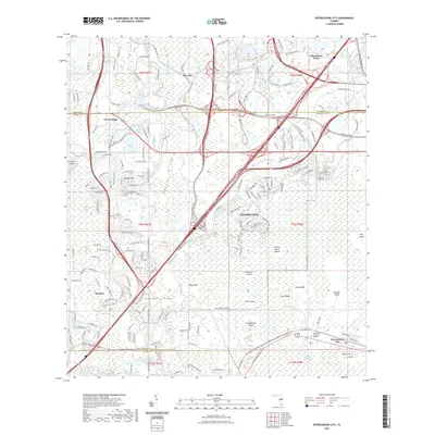
2021 Map of Intercession City
USGS Topo · Published 2021About this map
Celebration stands as a focal point of this modern Florida corridor, where high-density residential planning meets the expansive wetlands of the Reedy Creek Swamp. This 2021 landscape is defined by the contrast between intricate residential street networks—such as those in Reunion and Citrus Ridge—and the preserved natural hydrology of Bear Bay and Davenport Creek Swamp. The map documents the heavy infrastructure required for this region's growth, including the complex interchanges of the Osceola Pkwy and Epcot Center Dr that weave through the north.
Find a feature on this map
169 named features on this map. Tap any name to fly to it.
Don’t see what you’re looking for? This feature index may not catch every label — zoom into the map to look around manually.
Map Details
Editions of this 2021 Intercession City Map
This is the sole edition of this map. No revisions or reprints were ever made.
Other maps of this area

1953 · Lake Jessamine
USGS Topo · 1:24,000

1953 · Lake Tohopekaliga
USGS Topo · 1:24,000

1953 · Kissimmee
USGS Topo · 1:24,000

1953 · Windermere
USGS Topo · 1:24,000

1953 · Intercession City
USGS Topo · 1:24,000

1953 · Davenport
USGS Topo · 1:24,000

1955 · Orlando
USGS Topo · 1:250,000

1957 · Orlando
USGS Topo · 1:250,000

1958 · Orlando
USGS Topo · 1:250,000

1959 · Gum Lake
USGS Topo · 1:24,000