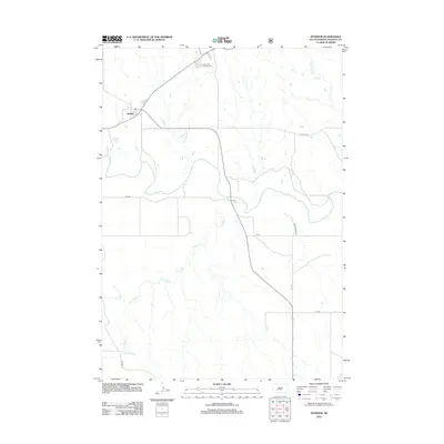
2012 Map of Interior
USGS Topo · Published 2012About this map
Interior serves as the primary settlement hub in this South Dakota landscape, positioned where the regional road network converges near the winding path of the White River. The area's character is defined by its dramatic hydrology, featuring the intricate drainage patterns of Lost Dog Cr and Sixteenmile Cr as they flow through the prairie terrain. The proximity of the Cedar Pass Campground indicates the transition toward the iconic landforms of the Badlands, while the local infrastructure, including Bia Rd and Ranch Resort Rd, reflects a mix of tribal administration and tourist-facing enterprise. This 2012 survey provides a precise view of the rural homesteads and access roads that characterize the contemporary geography of Jackson County.
Find a feature on this map
11 named features on this map. Tap any name to fly to it.
Don’t see what you’re looking for? This feature index may not catch every label — zoom into the map to look around manually.
Map Details
Editions of this 2012 Interior Map
This is the sole edition of this map. No revisions or reprints were ever made.
Other maps of this area

1950 · Interior
USGS Topo · 1:24,000

1950 · Interior SE
USGS Topo · 1:24,000

1950 · Potato Creek
USGS Topo · 1:24,000

1951 · School Section Butte
USGS Topo · 1:24,000

1952 · Conata NE
USGS Topo · 1:24,000

1952 · Conata SE
USGS Topo · 1:24,000

1955 · Hot Springs
USGS Topo · 1:250,000

1955 · Martin
USGS Topo · 1:250,000

1958 · Martin
USGS Topo · 1:250,000

1960 · Wall SE
USGS Topo · 1:24,000