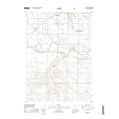
2017 Map of Interior
USGS Topo · Published 2017About this map
Interior serves as a small gateway community located at the southern edge of the dramatic badlands of South Dakota. The town's grid, including Main St and A St, is positioned just north of the meandering White River, while the Interior Cem sits on higher ground to the southwest. The landscape is a study in contrasting land management, where the boundaries of Badlands National Park meet the expansive Buffalo Gap National Grassland. The topography is defined by intricate drainage systems such as Lost Dog Cr and Sevenmile Cr, which carve through the sedimentary formations. Local travel is marked by routes like Ben Reifel Pl and Riverview Rd, reflecting the intersection of tourism and ranching life in this Jackson County region.
Find a feature on this map
29 named features on this map. Tap any name to fly to it.
Don’t see what you’re looking for? This feature index may not catch every label — zoom into the map to look around manually.
Map Details
Editions of this 2017 Interior Map
This is the sole edition of this map. No revisions or reprints were ever made.
Other maps of this area
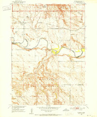
1950 · Interior
USGS Topo · 1:24,000
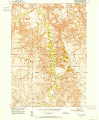
1950 · Interior SE
USGS Topo · 1:24,000
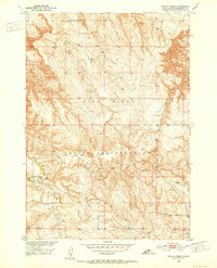
1950 · Potato Creek
USGS Topo · 1:24,000
1951 · School Section Butte
USGS Topo · 1:24,000
1952 · Conata NE
USGS Topo · 1:24,000
1952 · Conata SE
USGS Topo · 1:24,000
1955 · Hot Springs
USGS Topo · 1:250,000
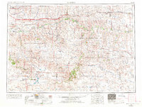
1955 · Martin
USGS Topo · 1:250,000
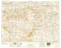
1958 · Martin
USGS Topo · 1:250,000
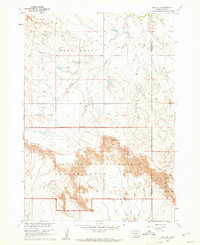
1960 · Wall SE
USGS Topo · 1:24,000