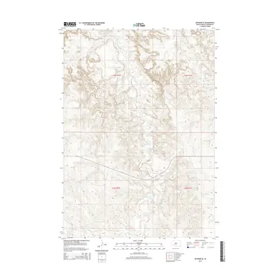
2015 Map of Interior SE
USGS Topo · Published 2015About this map
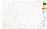
Bear-in-the-Lodge Cr meanders through this portion of Jackson County, carving a complex drainage pattern across the central and southern reaches of the landscape. The geography is defined by a dense network of coulees and high ridges, where watercourses like Eagle Nest Cr and Turtle Cr dictate the natural travel corridors of the region. Human infrastructure remains minimal in this survey, represented primarily by Birdsong Ln and a primary roadway cutting through the central township. This cartography captures the legal divisions of the Public Land Survey System, showing the intersections of t42n r38w, t42n r37w, t41n r38w, and t41n r37w, which provide essential grounding for researchers tracing historic land patents and modern parcel boundaries in this part of South Dakota.
Find a feature on this map
8 named features on this map. Tap any name to fly to it.
Don’t see what you’re looking for? This feature index may not catch every label — zoom into the map to look around manually.
Map Details
Editions of this 2015 Interior SE Map
This is the sole edition of this map. No revisions or reprints were ever made.
Other maps of this area
1950 · Interior
USGS Topo · 1:24,000
1950 · Interior SE
USGS Topo · 1:24,000
1950 · Potato Creek
USGS Topo · 1:24,000
1950 · Wanblee
USGS Topo · 1:24,000
1951 · Wanblee NW
USGS Topo · 1:24,000
1951 · School Section Butte
USGS Topo · 1:24,000

1955 · Martin
USGS Topo · 1:250,000

1958 · Martin
USGS Topo · 1:250,000
1980 · Kadoka
USGS Topo · 1:100,000
1981 · Hisle
USGS Topo · 1:25,000