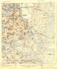
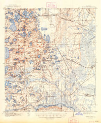
1916 Map of Interlachen
USGS Topo · Published 1943About this map
Interlachen serves as the central hub of this 1915 survey, situated in a lake-dense landscape defined by the Atlantic Coast Line and the Florida Coast Line railroads. The topography is a complex patchwork of wetlands and small depressions, featuring named landmarks like Devils Den and Devils Hole. To the north, the Palatka Georgia and Southern Road passes through Florahome and Baywood, while the southern reaches are dominated by the northern edge of the Ocala National Forest and The Oklawaha Scrub. Along the riverbanks, early river-borne commerce is evident at Fort Brook Landing and the Cedar Landing Ferry. The map captures rural life through the placement of the Conch School and Roscola School, alongside several established turpentine or lumber settlements like Rodman and Keuka. This survey provides a window into the transition from river and rail-based industry to early citrus and agricultural development in interior Putnam and Marion counties.
Find a feature on this map
112 named features on this map. Tap any name to fly to it.
Don’t see what you’re looking for? This feature index may not catch every label — zoom into the map to look around manually.
Map Details
Editions of this 1916 Interlachen Map
6 editions found
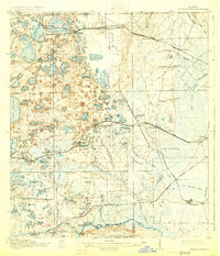
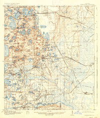
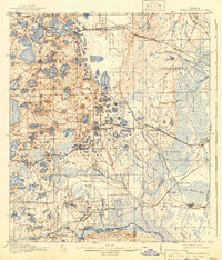
Other maps of this area

1893 · Citra
USGS Topo · 1:62,500

1895 · Citra
USGS Topo · 1:62,500

1912 · Palatka
USGS Topo · 1:48,000

1915 · Palatka
USGS Topo · 1:62,500

1915 · Interlachen
USGS Topo · 1:48,000

1916 · Interlachen
USGS Topo · 1:62,500

1938 · Hawthorn
USGS Topo · 1:48,000

1941 · Starke
USGS Topo · 1:62,500

1942 · Ates Creek
USGS Topo · 1:62,500

1943 · Hawthorn
USGS Topo · 1:62,500