
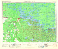
1958 Map of International Falls
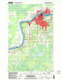
USGS Topo · Published 1958This historical map portrays the area of International Falls in 1958, primarily covering Koochiching County as well as portions of St. Louis County. Featuring a scale of 1:250000, this map provides a highly detailed snapshot of the terrain, roads, buildings, counties, and historical landmarks in the International Falls region at the time. Published in 1958, it is one of 2 known editions of this map due to revisions or reprints.
Find a feature on this map
125 named features on this map. Tap any name to fly to it.
Don’t see what you’re looking for? This feature index may not catch every label — zoom into the map to look around manually.
Map Details
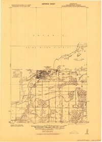
Editions of this 1958 International Falls Map
2 editions found
Historical Maps of Glendale Through Time
7 maps found
1919 International Falls
Koochiching County, MN

1954 International Falls
Koochiching County, MN

1957 International Falls
Koochiching County, MN
1958 International Falls
Koochiching County, MN
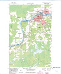
1969 International Falls
Koochiching County, MN
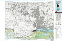
1978 International Falls
Koochiching County, MN
1999 International Falls
Koochiching County, MN