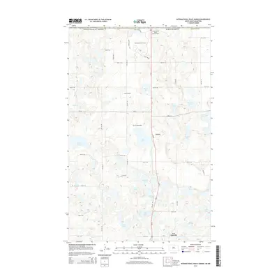
2014 Map of International Peace Garden
USGS Topo · Published 2014About this map
The International Peace Garden straddles the international border between North Dakota and Canada, anchoring the northern edge of this Turtle Mountains landscape. This unique geographical area is defined by a dense concentration of glacial potholes and small lakes, creating a complex hydrology that includes School Section Lake, Anderson Lake, and Rabbit City Lake. The terrain supports small communities and rural intersections such as Kelvin, Little Prairie, and East Dunseith, which are connected by a grid of county roads and section lines like Peony St NE and 30th Ave NE.
Find a feature on this map
48 named features on this map. Tap any name to fly to it.
Don’t see what you’re looking for? This feature index may not catch every label — zoom into the map to look around manually.
Map Details
Editions of this 2014 International Peace Garden Map
This is the sole edition of this map. No revisions or reprints were ever made.
Other maps of this area
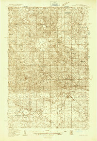
1935 · Dunseith
USGS Topo · 1:48,000
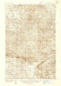
1936 · Lake Upsilon
USGS Topo · 1:48,000
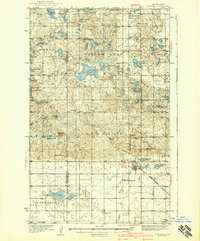
1939 · Dunseith
USGS Topo · 1:62,500
1942 · Lake Upsilon
USGS Topo · 1:62,500
1953 · Devils Lake
USGS Topo · 1:250,000
1954 · Minot
USGS Topo · 1:250,000
1955 · Lords Lake
USGS Topo · 1:24,000
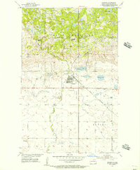
1955 · Dunseith
USGS Topo · 1:24,000
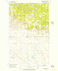
1955 · Lake Upsilon SW
USGS Topo · 1:24,000
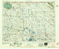
1956 · Devils Lake
USGS Topo · 1:250,000