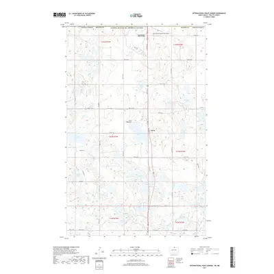
2017 Map of International Peace Garden
USGS Topo · Published 2017About this map
The International Peace Garden straddles the boundary between the United States and Canada in this northern North Dakota landscape. This specific survey highlights a glaciated terrain within the Turtle Mountains, characterized by a high density of small lakes and wetlands including School Section Lake, Berry Lake, and Butler Lake. The small settlement of Kelvin serves as a local point of reference along the road network leading toward the international border.
Find a feature on this map
47 named features on this map. Tap any name to fly to it.
Don’t see what you’re looking for? This feature index may not catch every label — zoom into the map to look around manually.
Map Details
Editions of this 2017 International Peace Garden Map
This is the sole edition of this map. No revisions or reprints were ever made.
Other maps of this area

1935 · Dunseith
USGS Topo · 1:48,000

1936 · Lake Upsilon
USGS Topo · 1:48,000

1939 · Dunseith
USGS Topo · 1:62,500

1942 · Lake Upsilon
USGS Topo · 1:62,500

1953 · Devils Lake
USGS Topo · 1:250,000

1954 · Minot
USGS Topo · 1:250,000

1955 · Lords Lake
USGS Topo · 1:24,000

1955 · Dunseith
USGS Topo · 1:24,000

1955 · Lake Upsilon SW
USGS Topo · 1:24,000

1956 · Devils Lake
USGS Topo · 1:250,000