
1904 Map of Iola
USGS Topo · Published 1904About this map
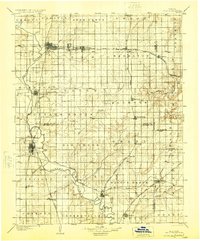
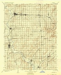
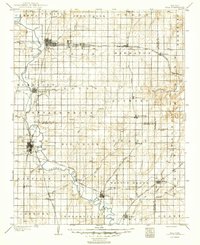
Iola and Erie anchor this early 20th-century landscape, which is defined by a dense network of competing rail lines and the winding course of the Neosho River. The settlement pattern reflects the height of the regional railroad era, with towns like Laharpe, Gas, and Moran positioned along the Missouri Pacific R. R. and the Kansas and Texas R. R.. To the south, Chamute serves as a significant junction for the Atchison Topeka and Santa Fe R. R.. The map provides a rare look at the original townships, including Tioga, Big Creek, and Geneva, before decades of rural consolidation. Along the eastern edge, the Marmaton River cuts through Marmaton township near the Allen Co. Bourbon Co. border, highlighting the transition from the river bottomlands to the upland prairies of southeastern Kansas.
Find a feature on this map
67 named features on this map. Tap any name to fly to it.
Don’t see what you’re looking for? This feature index may not catch every label — zoom into the map to look around manually.
Map Details
Editions of this 1904 Iola Map
4 editions found
Other maps of this area

1884 · Fort Scott
USGS Topo · 1:125,000

1885 · Burlington
USGS Topo · 1:125,000

1885 · Garnett
USGS Topo · 1:125,000

1886 · Fredonia
USGS Topo · 1:125,000

1886 · Joplin
USGS Topo · 1:125,000

1886 · Iola
USGS Topo · 1:125,000

1886 · Independence
USGS Topo · 1:125,000

1886 · Fort Scott
USGS Topo · 1:125,000

1886 · Parsons
USGS Topo · 1:125,000

1887 · Mound City
USGS Topo · 1:125,000