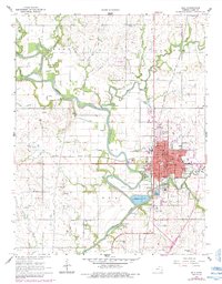
1966 Map of Iola
USGS Topo · Published 1984About this map
The Neosho River meanders through this Allen County landscape, defining the industrial and civic life of mid-century Iola. As the county seat, the town is shown in high detail, with its residential grid extending past Riverside Park toward the smaller community of Bassett. The local economy of the 1960s is clearly visible in the extensive network of oil wells and gas wells dotting the surrounding sections, alongside several quarries and gravel pits.
Find a feature on this map
67 named features on this map. Tap any name to fly to it.
Don’t see what you’re looking for? This feature index may not catch every label — zoom into the map to look around manually.
Map Details
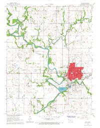
Editions of this 1966 Iola Map
2 editions found
Other maps of this area

1885 · Burlington
USGS Topo · 1:125,000

1885 · Garnett
USGS Topo · 1:125,000

1886 · Fredonia
USGS Topo · 1:125,000

1886 · Iola
USGS Topo · 1:125,000

1893 · Iola
USGS Topo · 1:125,000

1894 · Garnett
USGS Topo · 1:125,000

1894 · Fredonia
USGS Topo · 1:125,000

1894 · Burlington
USGS Topo · 1:125,000

1904 · Iola
USGS Topo · 1:125,000

1947 · Lawrence
USGS Topo · 1:250,000