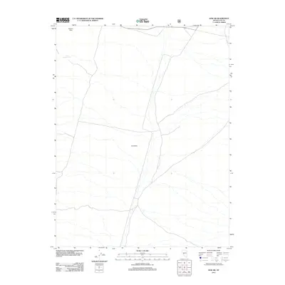
2012 Map of Ione SW
USGS Topo · Published 2012About this map
Ione Valley dominates this desert landscape in the central Nevada interior, characterized by its wide, arid expanse and a sparse network of unpaved roads and trails. The terrain is defined by the high-elevation basin of the valley, which is flanked by the rising slopes of the Shoshone Mountains to the west. A critical topographic feature at the northern edge of the map is Brunton Pass, which has historically served as a vital transit point through the mountain range. While the area is largely devoid of permanent settlements, the presence of Lower Antelope Spring highlights the importance of isolated water sources for early ranching and travel in this remote part of Nye County. The map provides a detailed view of the natural drainage patterns and the network of four-wheel-drive tracks that cross the valley floor, showing the region as it appeared in the early 21st century.
Find a feature on this map
3 named features on this map. Tap any name to fly to it.
Don’t see what you’re looking for? This feature index may not catch every label — zoom into the map to look around manually.
Map Details
Editions of this 2012 Ione SW Map
This is the sole edition of this map. No revisions or reprints were ever made.
Other maps of this area

1907 · Tonopah
USGS Topo · 1:250,000

1908 · Tonopah
USGS Topo · 1:250,000
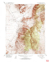
1948 · Paradise Peak
USGS Topo · 1:62,500
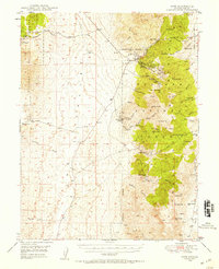
1948 · Ione
USGS Topo · 1:62,500
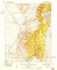
1950 · Paradise Peak
USGS Topo · 1:62,500
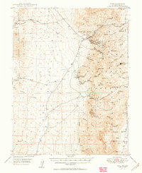
1950 · Ione
USGS Topo · 1:62,500

1956 · Tonopah
USGS Topo · 1:250,000

1959 · Tonopah
USGS Topo · 1:250,000

1962 · Tonopah
USGS Topo · 1:250,000
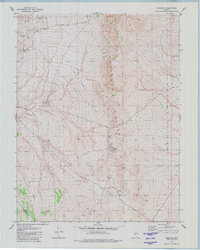
1979 · Goldyke
USGS Topo · 1:24,000