Loading...
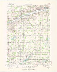
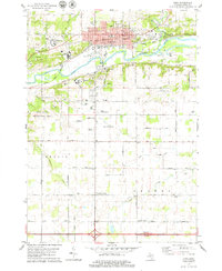
Loading map...1916 Map of Ionia
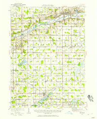
USGS Topo · Published 1972About this map
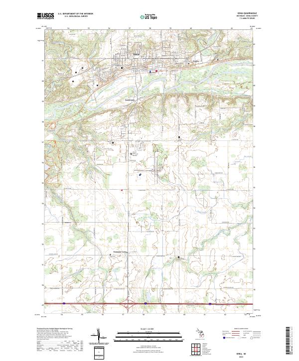
The Grand River cuts a prominent path through this 1916 landscape, serving as the industrial and transit corridor for Ionia and Saranac. Along the river's banks, significant institutional presence is visible via the State Reformatory, State Prison, and State Hospital, reflecting the era's regional infrastructure. The surrounding Ionia County countryside is a dense network of early 20th-century agrarian life, marked by an exceptional number of district schools such as Welch School, Dexter School, and Levalley School.
Find a feature on this map
93 named features on this map. Tap any name to fly to it.
Don’t see what you’re looking for? This feature index may not catch every label — zoom into the map to look around manually.
Map Details
Date Portrayed1916
Date Published1972
PublisherU.S. Geological Survey
Map TypeTopographic
Scale1:62,500
Physical Dimensions16.97 x 21.29 inches
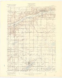
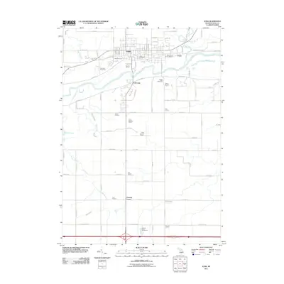
Editions of this 1916 Ionia Map
2 editions found
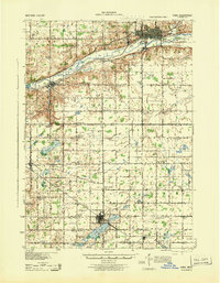
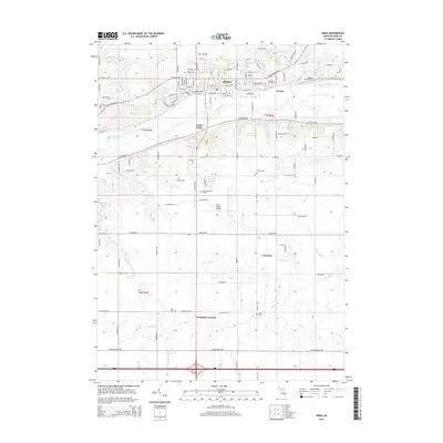
Historical Maps of Ionia Through Time
9 maps found
Featured Locations
- Ionia, MI
- Clarksville, Campbell Township
- Lake Odessa, Odessa Township
- Sunfield, Sunfield Township
- Saranac, Boston Township
Source Details
SourceU.S. Geological Survey
CopyrightPublic Domain