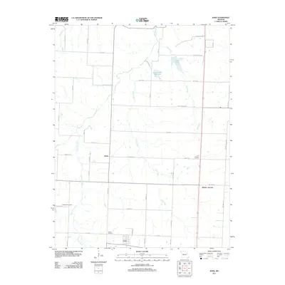
2011 Map of Ionia
USGS Topo · Published 2011About this map
Ionia anchors the southern reaches of this landscape where the prairie meets the complex drainage systems of central Missouri. The terrain is defined by the winding paths of South Flat Creek and Henry Creek, which move through a grid of rural routes named for local families and landmarks. Significant for genealogical research, the area contains several established burial grounds including the Point Pleasant Cemetery near the crossroads of Manila, the Methodist Cemetery to the west, and the Christian Cemetery north of Ionia.
Find a feature on this map
46 named features on this map. Tap any name to fly to it.
Don’t see what you’re looking for? This feature index may not catch every label — zoom into the map to look around manually.
Map Details
Editions of this 2011 Ionia Map
This is the sole edition of this map. No revisions or reprints were ever made.
Other maps of this area

1887 · Sedalia
USGS Topo · 1:125,000

1887 · Warsaw
USGS Topo · 1:125,000

1894 · Warsaw
USGS Topo · 1:125,000

1894 · Sedalia
USGS Topo · 1:125,000

1944 · Sedalia West
USGS Topo · 1:24,000

1944 · Sedalia East
USGS Topo · 1:24,000

1946 · Sedalia West
USGS Topo · 1:24,000

1946 · Sedalia East
USGS Topo · 1:24,000

1947 · Jefferson City
USGS Topo · 1:250,000
1948 · Green Ridge
USGS Topo · 1:62,500