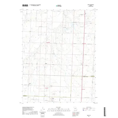
2017 Map of Ionia
USGS Topo · Published 2017About this map
The quiet rural landscape of Manila and surrounding Benton County is defined by the winding course of Bustin Fork. This 2017 study illustrates the persistent agricultural and residential patterns of the Missouri interior, where small settlements are connected by a network of county roads. The terrain is shaped by the subtle drainage of local waterways, with the presence of Manila serving as a primary point of reference for local genealogy and land use. This modern topographic record captures the area's transition into the twenty-first century, maintaining the established geographic markers that have defined this portion of the state for generations.
Find a feature on this map
2 named features on this map. Tap any name to fly to it.
Don’t see what you’re looking for? This feature index may not catch every label — zoom into the map to look around manually.
Map Details
Editions of this 2017 Ionia Map
This is the sole edition of this map. No revisions or reprints were ever made.
Other maps of this area
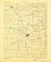
1887 · Sedalia
USGS Topo · 1:125,000
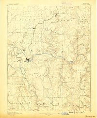
1887 · Warsaw
USGS Topo · 1:125,000
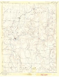
1894 · Warsaw
USGS Topo · 1:125,000
1894 · Sedalia
USGS Topo · 1:125,000
1944 · Sedalia West
USGS Topo · 1:24,000
1944 · Sedalia East
USGS Topo · 1:24,000
1946 · Sedalia West
USGS Topo · 1:24,000
1946 · Sedalia East
USGS Topo · 1:24,000
1947 · Jefferson City
USGS Topo · 1:250,000
1948 · Green Ridge
USGS Topo · 1:62,500