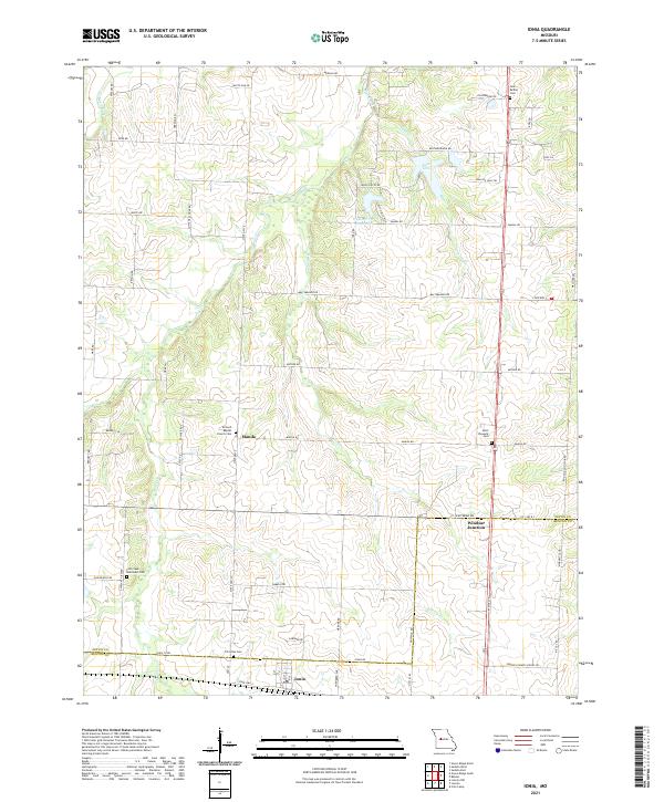
2021 Map of Ionia
USGS Topo · Published 2021About this map
Ionia and the rural lands straddling the Pettis and Benton County line are detailed in this modern survey. The settlement of Manila serves as a central landmark amidst a landscape shaped by the headwaters and tributaries of several prominent local streams, including Flat Creek, Tebo Cr, and Henry Cr. The northern portion of the quadrangle is punctuated by Lake Tebo and the Number 130 Reservoir, providing a clear look at the drainage patterns flowing toward the Osage River basin.
Find a feature on this map
62 named features on this map. Tap any name to fly to it.
Don’t see what you’re looking for? This feature index may not catch every label — zoom into the map to look around manually.
Map Details
Editions of this 2021 Ionia Map
This is the sole edition of this map. No revisions or reprints were ever made.
Other maps of this area

1887 · Sedalia
USGS Topo · 1:125,000

1887 · Warsaw
USGS Topo · 1:125,000

1894 · Warsaw
USGS Topo · 1:125,000

1894 · Sedalia
USGS Topo · 1:125,000

1944 · Sedalia West
USGS Topo · 1:24,000

1944 · Sedalia East
USGS Topo · 1:24,000

1946 · Sedalia West
USGS Topo · 1:24,000

1946 · Sedalia East
USGS Topo · 1:24,000

1947 · Jefferson City
USGS Topo · 1:250,000
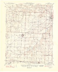
1948 · Green Ridge
USGS Topo · 1:62,500