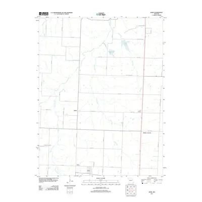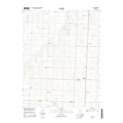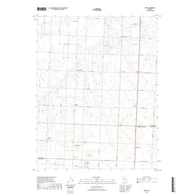
1973 Map of Ionia
USGS Topo · Published 1975About this map
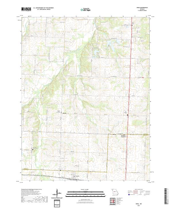
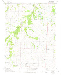
The borderlands of Pettis and Benton Counties are defined here by a network of winding waterways, most notably the wide southern reach of Flat Creek and the eastern flow of Tebo Creek. The small community of Ionia sits at the southern edge of the map, situated along the tracks of the Chicago Rock Island and Pacific railroad. This rail line provided a critical transit link for the rural agriculture of Washington township, connecting smaller outposts like Windsor Junction and Mora to larger markets.
Find a feature on this map
21 named features on this map. Tap any name to fly to it.
Don’t see what you’re looking for? This feature index may not catch every label — zoom into the map to look around manually.
Map Details
Editions of this 1973 Ionia Map
This is the sole edition of this map. No revisions or reprints were ever made.
Historical Maps of Manila Through Time
5 maps found