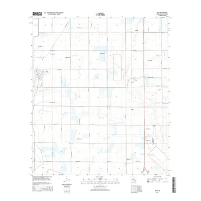
2015 Map of Iota
USGS Topo · Published 2015About this map
Iota serves as the central hub for this Acadia Parish landscape, where the town’s grid meets a network of agricultural roads and bayous. The drainage patterns of the coastal prairie are well-defined by Bayou Pointe Aux Loups and Long Point Gully, which thread through the surrounding farm fields. Smaller communities like Maxie, Keystone, and Ellis are scattered across the quadrangle, illustrating the decentralized rural settlement pattern common to this part of Louisiana.
Find a feature on this map
63 named features on this map. Tap any name to fly to it.
Don’t see what you’re looking for? This feature index may not catch every label — zoom into the map to look around manually.
Map Details
Editions of this 2015 Iota Map
This is the sole edition of this map. No revisions or reprints were ever made.
Other maps of this area

1935 · Branch
USGS Topo · 1:31,680

1946 · Mermentau
USGS Topo · 1:31,680

1946 · Rayne
USGS Topo · 1:31,680

1947 · Evangeline
USGS Topo · 1:31,680

1947 · Branch
USGS Topo · 1:31,680

1947 · Eunice
USGS Topo · 1:31,680

1947 · Iota
USGS Topo · 1:31,680

1947 · Pitreville
USGS Topo · 1:31,680

1947 · Basile
USGS Topo · 1:31,680

1949 · Estherwood
USGS Topo · 1:31,680