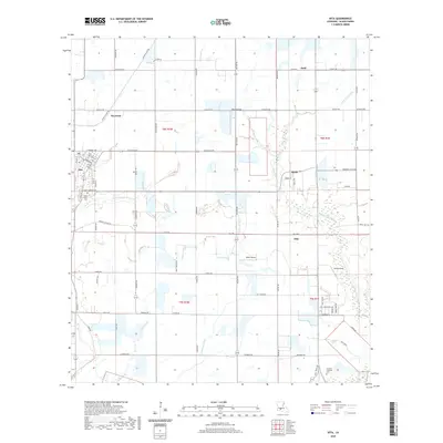
2020 Map of Iota
USGS Topo · Published 2020About this map
Iota serves as the primary hub in this Acadia Parish landscape, where a dense grid of local roads and parish routes connects several smaller farming communities. The area is defined by its complex drainage network, featuring Bayou Pointe Aux Loups and several distinct watercourses such as Coulee de Saule and Long Point Gully. This topography shaped the distribution of early settlements like Maxie and Ellis, while small rural air-strips including Reed Airfield and Walsh Airport highlight the logistical needs of modern agricultural operations. Genealogists will find notable burial sites like Saint Joseph Cem on the edge of Iota and the German Lutheran Cem further south. The map reflects a landscape deeply tied to its hydrology and land divisions, with prominent section lines marking townships and ranges that have governed the region's development since its earliest parish surveys.
Find a feature on this map
63 named features on this map. Tap any name to fly to it.
Don’t see what you’re looking for? This feature index may not catch every label — zoom into the map to look around manually.
Map Details
Editions of this 2020 Iota Map
This is the sole edition of this map. No revisions or reprints were ever made.
Other maps of this area

1935 · Branch
USGS Topo · 1:31,680

1946 · Mermentau
USGS Topo · 1:31,680

1946 · Rayne
USGS Topo · 1:31,680

1947 · Evangeline
USGS Topo · 1:31,680

1947 · Branch
USGS Topo · 1:31,680

1947 · Eunice
USGS Topo · 1:31,680

1947 · Iota
USGS Topo · 1:31,680

1947 · Pitreville
USGS Topo · 1:31,680

1947 · Basile
USGS Topo · 1:31,680

1949 · Estherwood
USGS Topo · 1:31,680