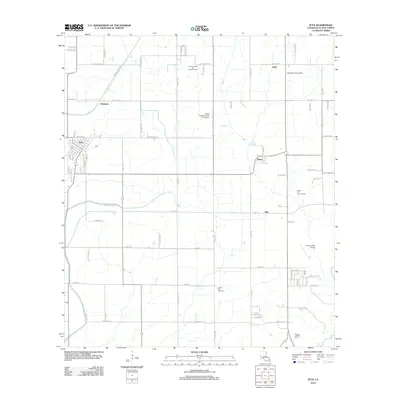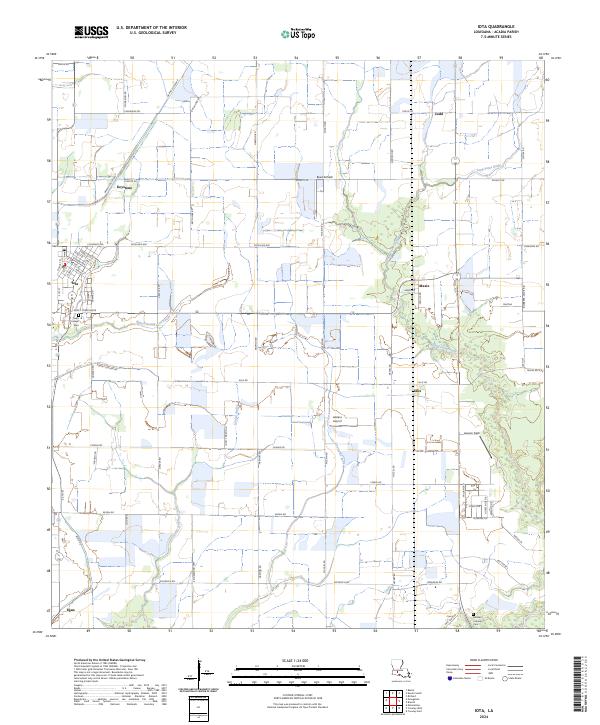
2024 Map of Iota
USGS Topo · Published 2024About this map
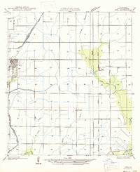
Bayou Pointe-aux-Loups and Grand Coulee define the drainage of this coastal prairie landscape, where the town of Iota stands as the primary hub. This modern survey illustrates the persistent agricultural and transportation grids of Acadia Parish, from the small community of Maxie in the east to Egan at the southwestern edge. The map provides essential detail for genealogists, marking the Saint Joseph Cem on the outskirts of Iota and the German Lutheran Cem near the southern boundary. Local aviation is particularly well-represented across the parish, with three distinct private or local landing sites identified: Reed Airfield, Leblanc Airport, and Lawson Field. The rectilinear road network, including routes like Casanova Rd and Schultz Rd, underscores the organized land divisions that have shaped local farming for generations.
Find a feature on this map
74 named features on this map. Tap any name to fly to it.
Don’t see what you’re looking for? This feature index may not catch every label — zoom into the map to look around manually.
Map Details
Editions of this 2024 Iota Map
This is the sole edition of this map. No revisions or reprints were ever made.
Historical Maps of Iota Through Time
7 maps found