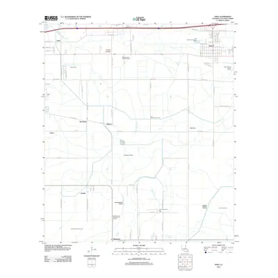
2012 Map of Iowa
USGS Topo · Published 2012About this map
Calcasieu Prairie defines the central landscape of this Calcasieu Parish region, where the prairie's natural expanse is marked by a complex network of drainage and petroleum infrastructure. The town of Iowa serves as a primary hub in the northeast, while smaller clusters like Chloe, Manchester, and Bellevue are connected by a grid of rural roads and canals. This area demonstrates the integration of aviation and agriculture, evidenced by facilities such as the Morgan Crop Service Airport and the O'Brien Flying Service Airport. Subsurface resources are a significant driver of the local economy and land use, with the Chloe Oil Field, East Manchester Gas Field, and Holmwood Oil and Gas Field prominently featured. Water management is central to the terrain's utility, navigated through the Government Ditch, Jacques Coulee, and the Indian Bayou Canal which winds through the southeastern reaches.
Find a feature on this map
75 named features on this map. Tap any name to fly to it.
Don’t see what you’re looking for? This feature index may not catch every label — zoom into the map to look around manually.
Map Details
Editions of this 2012 Iowa Map
This is the sole edition of this map. No revisions or reprints were ever made.
Other maps of this area

1932 · Lake Charles NE
USGS Topo · 1:31,680

1932 · Lake Charles NW
USGS Topo · 1:31,680

1932 · Lake Charles SW
USGS Topo · 1:31,680

1932 · Lake Charles SE
USGS Topo · 1:31,680

1935 · Moss Bluff
USGS Topo · 1:31,680

1942 · Lake Charles
USGS Topo · 1:62,500

1946 · Lacassine
USGS Topo · 1:31,680

1946 · Hayes
USGS Topo · 1:31,680

1947 · Fenton
USGS Topo · 1:31,680

1947 · Moss Bluff
USGS Topo · 1:31,680